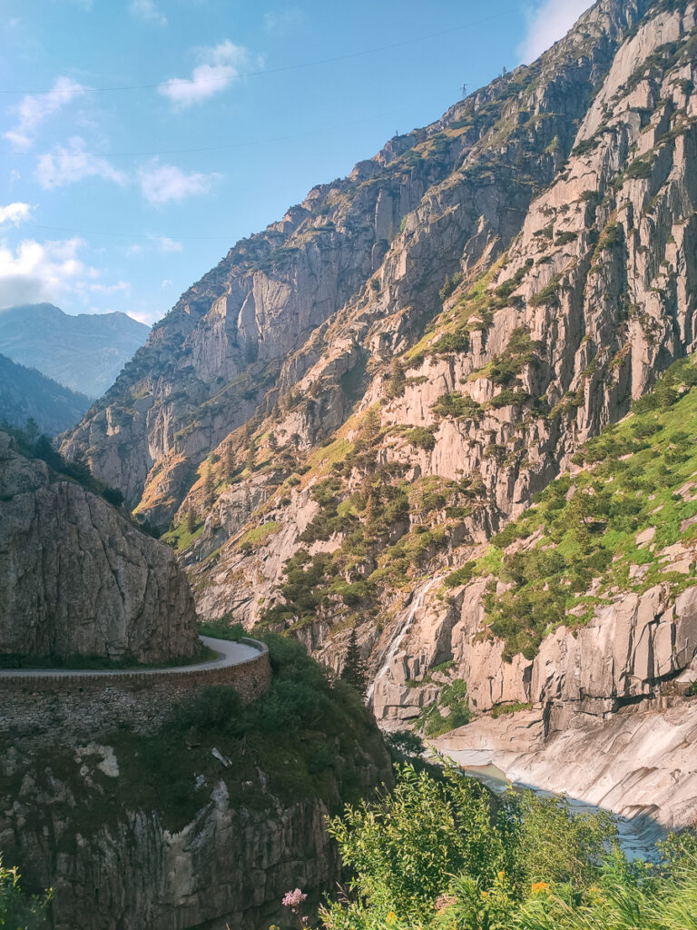
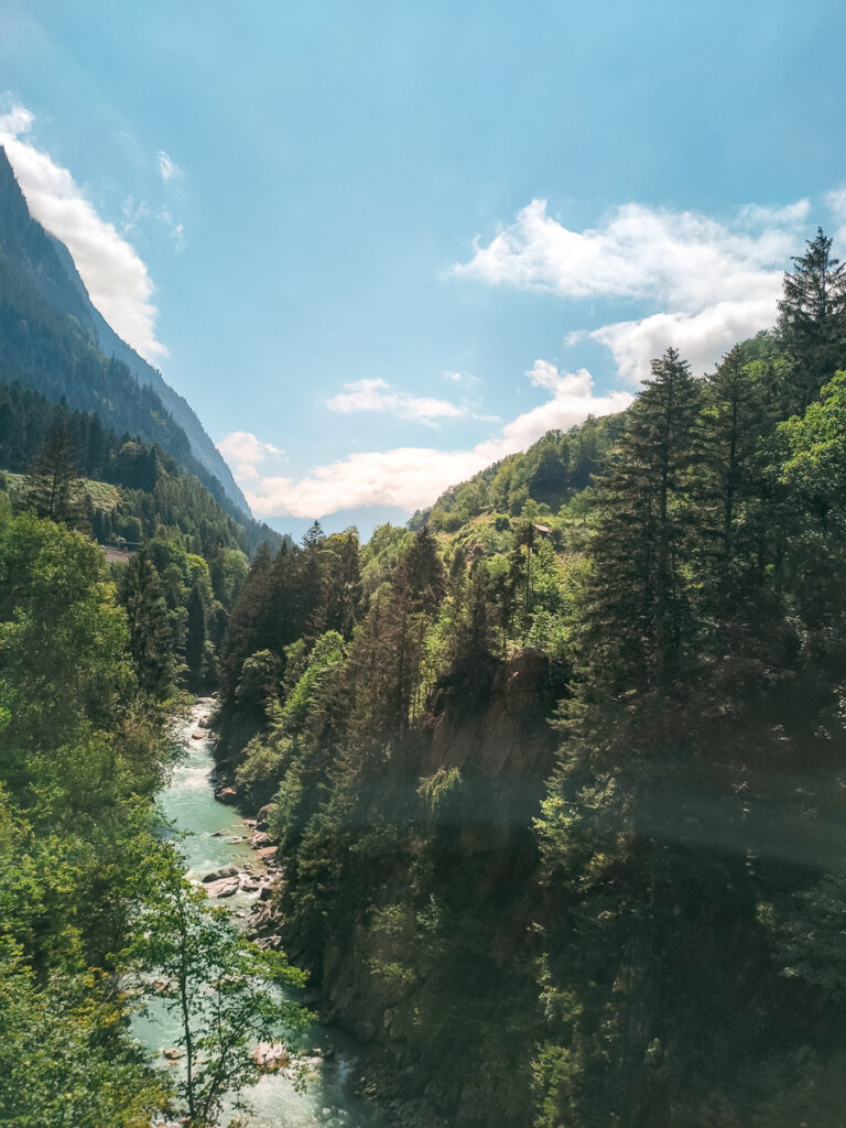
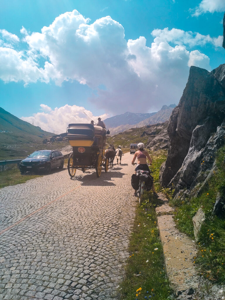
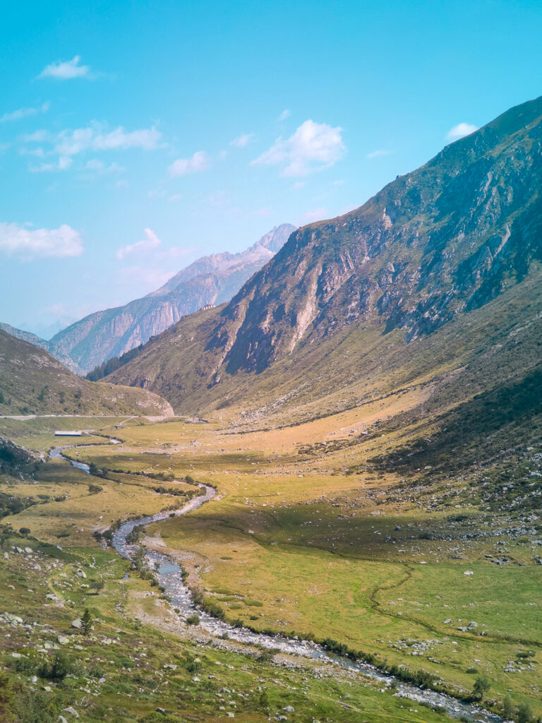
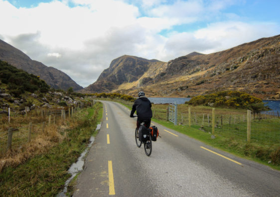
When I think cycling through the Alps, I immediately think you’ve got to be Tour de France material or Hannibal on an African war elephant. But you don’t. Normal people, with a bit of practice, can do a multi-day Alpine bike ride. My sister is living proof normal people can make it through the Alps on a bike alive.
There are many different options for cycle tours through the Alps, but many of them also have one too many mountain passes. If you’re looking more for the views rather than the pain, then taking the route from Alsace-Lorraine to Lombardy may be up your alley. This 526 km route from Strasbourg, France to Lake Como, Italy has just one mountain pass (you need to do at least one for the stories) and can be done in 6 days for the fit and crazy. You can also split the days up to reduce the distance and elevation gain each day, and stretch the route out into two weeks if you have more time.
You can find each day of the route here on Komoot to follow as you go. But essentially, if you want to do this in a week, you’ll be breaking up your days like this:
- Day 1: Strasbourg to Colmar (93.2km)
- Day 2: Colmar to Basel (76.8km)
- Day 3: Basel to Lucerne (108km)
- Day 4: Lucerne to Andermatt (85.3km)
- Day 5: Andermatt to Cugnasco-Gerra (98.3km)
- Day 6: Cugnasco-Gerra to Como (64.2km)
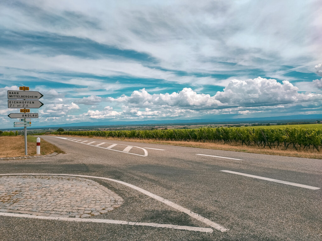
For the duration of this trip, you’ll more or less follow the EuroVelo Route 5 and Swiss Route 3, the 3900km cycle route from Canterbury, England to Brindisi, Italy. Depending on where you are, you can adjust your start and end location.
If you read through this and you’re disgusted with the thought of cycling a total of 5,240m uphill in 6 days, but you still want to do a longer cycle trip, check out the 5-day Romantische Strasse option.
Day 1: Strasbourg to Colmar
On the first day, you’ll more or less follow the EuroVelo Route 5 along canals, but you can take some shortcuts to shorten the route, such as skipping the detour to Bernardswiller and Andlau. Though the stretch is long at 93km, given the relative flatness of the route, it might be the easiest day of the tour.
Since you will be spending most of the day along the Alsace Wine Route, you might as well stop for a glass or two along the way. If you decide to split up this single day’s ride into a weeklong wine tour rather than cycle to Italy, that’s not a terrible idea.
Along the way, some places to stop and see are Gertwiller (buy some gingerbread), Mittelbergheim (cute medieval village), Château du Haut-Koenigsbourg (if you’ve got loads of time and energy), and Ribeauvillé (if you plan to spend the night camping at Riquewihr).
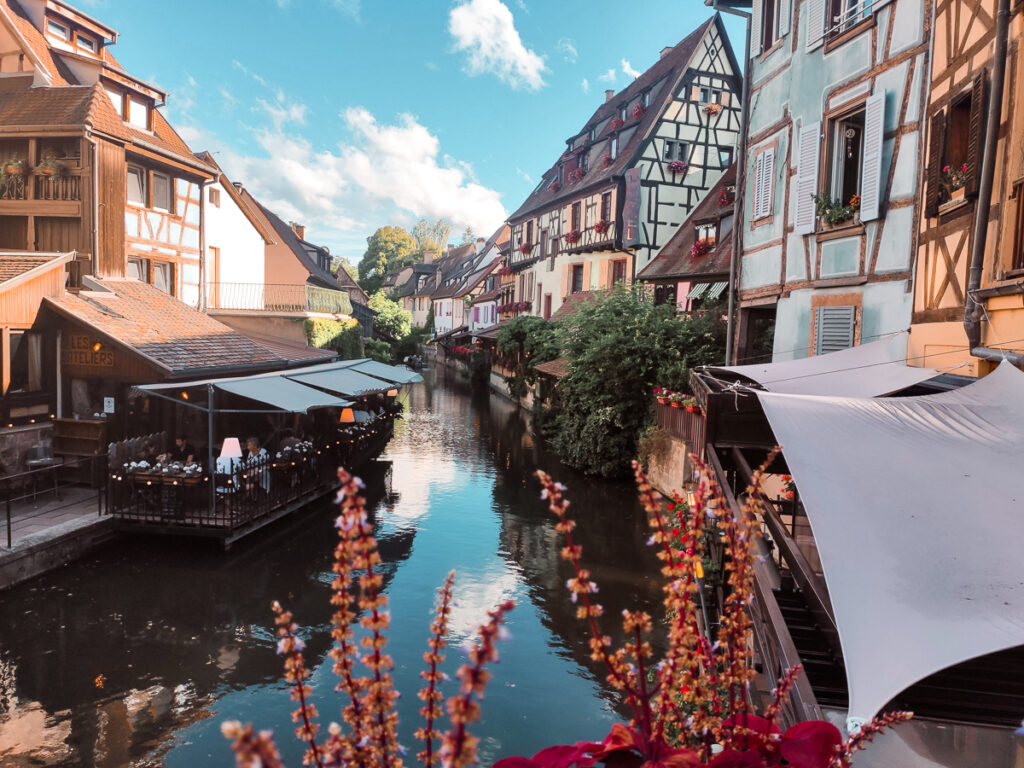
For those of you who do pass up on the temptation of staying in the wine lands, there are a few camping options nearby Colmar to overnight at: Camping de l’Ill and Camping de Riquewihr.
Camping de l’Ill has 150 campsites and is just to the east of Colmar along the River Ill. There’s a heated swimming pool open from late June through September and WiFi throughout the campsite. If you don’t want to pitch your own tent, Camping de l’Ill also offers 6-person chalets, 6-person mobile homes, 4-person fully equipped tents with beds. Prices vary based on location of the campsite (riverside or away from the river), number of people, whether you want electricity, but for two people and one tent, basic sites start at €23 a night.
Camping de Riquewihr is about 12km north of Colmar, and is a good place to stop if you’ve had it for the day. As a site along the Alsacian wine road, it’s located within the wine region – a quieter option compared to Camping de l’Ill. There are 148 campsites scattered across 7 acres of land, with prices for a basic site for two people and one tent starting at €17.50 in low season and €19.00 in high season (July through September and late November to the 2nd of January). Keeping with French tradition, wine tastings are held several times a week and a cheese shop is available nearby.

Fun Stats of Day 1: Strasbourg to Colmar
- Total distance: 93.2k
- Elevation gain: 480m
- Elevation loss: 430
- Expected cycling time (@12kph): 8hrs
Day 2: Colmar to Basel
You’ve got two options today: take the direct route to Basel (~77km) or continue along EuroVelo 5 to follow the wine route before connecting through Mulhouse to Basel (117km). If you want to stick to the wine route, I would suggest splitting this day into two, and rather going from Colmar to Mulhouse and then Mulhouse to Basel.
The plus side of sticking to the EuroVelo 5 is that you’ll pass through Eguisheim – a disgustingly cute French medieval village that you probably have a picture puzzle of in your attic somewhere.
Before you cross the border into Switzerland, I would highly recommend restocking on granola bars and any other items you’ll need. You’ll immediately feel the difference in your pockets when you cross.
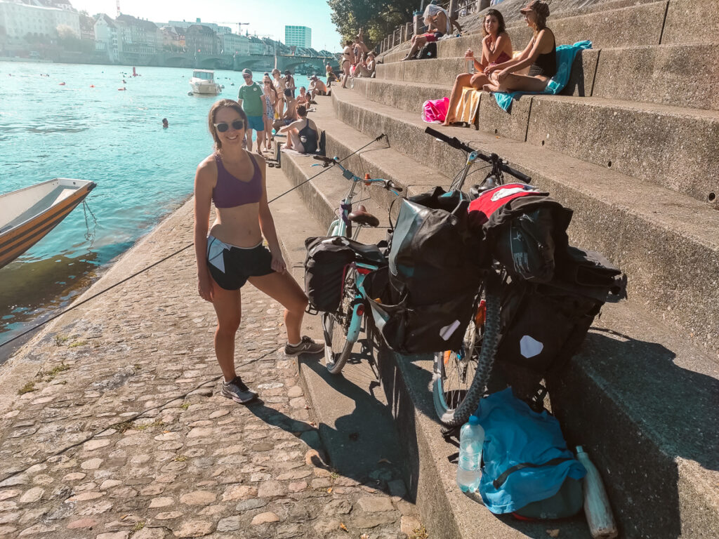
Accommodation in Basel is pricey, but it is possible to get a room for €100 for the night. Less than that – I’m not so sure.
If you choose to camp, there aren’t many convenient options available. Just before Basel, in France, is Camping Au Petit Port which is only open in the summer months, with a basic tent site and two people starting at about €13.00. It’s a very basic campsite, so don’t expect much. Over on the Swiss side, just 11km outside Basel along Day 3’s bike route is Camping und Schwimmbad am Rhein. A site for a small 2-person tent with two people is €17.50 (19 CHF) for a night. They do have a massive swimming pool that for a fee you can access (4 CHF per adult).

Fun Stats of Day 2: Colmar to Basel direct
- Total distance: 76.8k
- Elevation gain: 170m
- Elevation loss: 100
- Expected cycling time (@12kph): 6.5hrs
Day 3: Basel to Lucerne
On Day 3, you’ll get your first taste of the Alps – making some serious climbs only to steeply descend right after, with very little forward progress. It’s also one of the toughest days of the bike tour, with the exception of Day’s 4, 5, and 6. After leaving Basel, you’ll follow the Swiss Cycle Route 3 (it’s also still the EuroVelo 5) with two mountain ascents and descends before you pass through Aarau. This is the halfway point of the day’s ride. From here it’s a comparatively gradual uphill for 40km before you descend the final 10km to Lucerne.
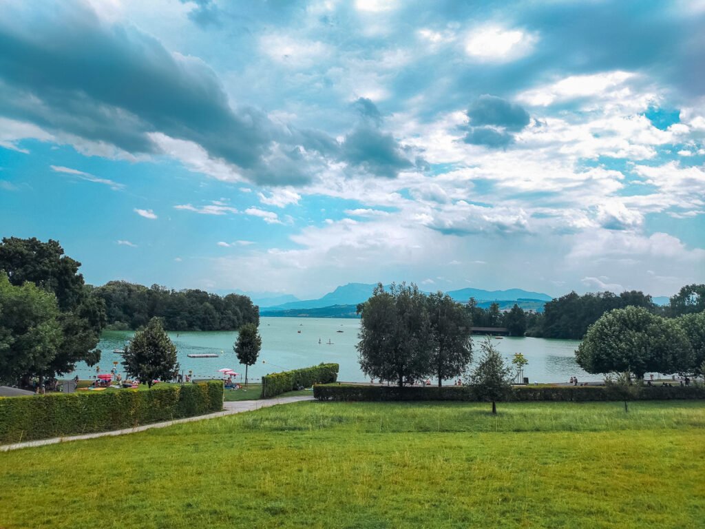
Unfortunately, there isn’t any camping directly in Lucerne. The closest is 5.5km away which sounds like a lot considering what you’ll have cycled that day, but I think the prices of a room in Lucerne will give you the motivation you need to push through to a campsite.
The closest camping option near Lucerne is TCS Camping Luzern-Horw, 5.5km from central Lucerne. The site is at the edge of the lake and has picturesque mountain views. Prices for a basic camping site for a small tent and two adults start at 40 CHF (excl. taxes) in the high season. Further down the bike route (20km from Lucerne), by Buochs, is another campsite – TCS Camping Buochs Vierwaldstättersee. This site belongs to the same camping group as the other, except prices for two people and a small tent start at 41 CHF in the high season. The two sites are pretty much the same in terms of amenities and leaving you feeling very broke, but otherwise the site by Buochs has just a bit more access to swimming in the lake.

Fun Stats of Day 3: Basel to Lucerne
- Total distance: 108k
- Elevation gain: 1140m
- Elevation loss: 970
- Expected cycling time (@12kph): 9hrs
Day 4: Lucerne to Andermatt
After yesterday’s warmup through the foothills of the Alps, today you’ll be ready for the real deal – the Swiss Alps themselves and your first proper mountain ascent. If you spent the night camping by Buochs, you’ll continue the route a few kilometres towards the Gersau-Beckeried ferry (if you spent the night in Lucerne, cycle to Buochs). Unfortunately, there’s no fast way around using the ferry unless you plan to hike your bicycle up foot trails on the mountains. So make sure it’s running and make sure you catch it in time. The ferry runs from April to October, and takes 20 minutes to cross. It leaves every hour, but at random times, so check the timetables before you go. Each adult with a bike costs 8.00CHF, CASH ONLY. They accept Swiss Francs and Euros, but at the current exchange rate, you’re better off paying in Swiss Francs.
For the first 60km of the day, the route follows the lake and, thankfully, is quite flat. You’ll cycle onwards through a valley, enjoying the flatness, until you get to Erstfeld. From here things go uphill. Quite steeply. The next 20km will be a constant battle uphill. Unless you have an e-bike.
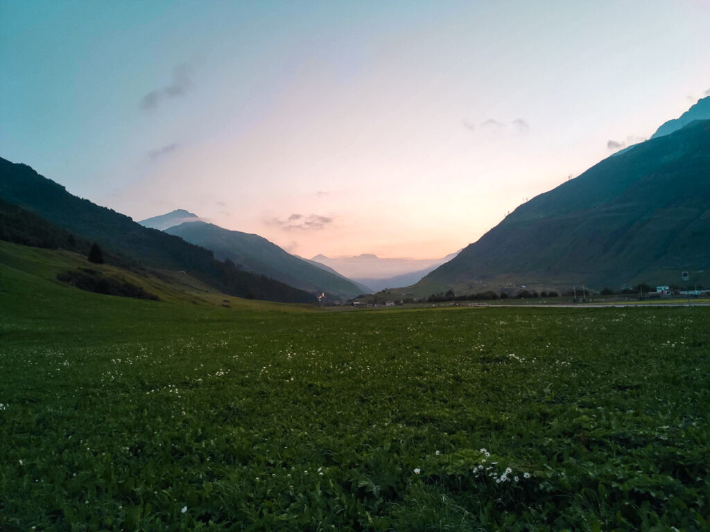
If nothing else, the reward for this gruelling cycling trip is being able to camp at 1444m high up in the Swiss Alps with the mountains around you and only the stars above you. Gotthard Camping at Andermatt makes the pain of cycling, or rather pushing your bike, up 1540m of really, really excruciating mountainsides, that any other normal person would take a tunnel through, worth it. During high season, the fees are 6 CHF for one tent, and 13 CHF per adult, making that 8 to 9 CHF cheaper than the plot of dirt down by Lucerne. Enjoy the site. Stay a second night if you wish to recover. Considering rooms in Andermatt can go for over 1000 CHF, you’ve got yourself a steal. Showers and water are even included!

Fun Stats of Day 4: Lucerne to Andermatt
- Total distance: 85.3k
- Elevation gain: 1540m
- Elevation loss: 530
- Expected cycling time (@12kph): 7hrs
Day 5: Andermatt to Cugnasco-Gerra
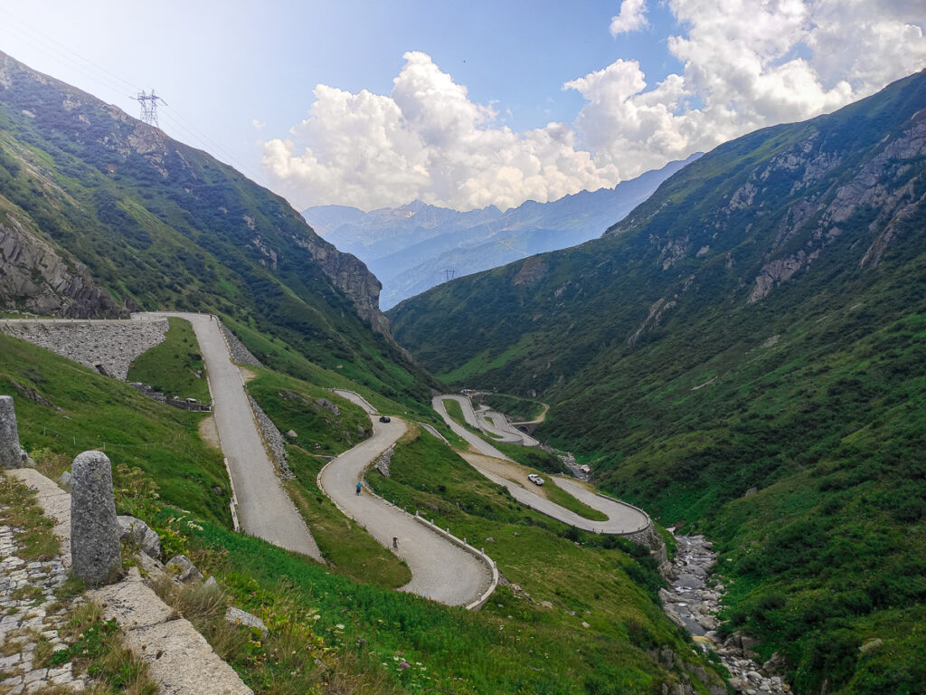
Today starts rough – it’s basically a repetition of Day 4 with a climb of 870m pretty much the moment you get out of your sleeping bag. But after 12 km of pushing your bike up the windiest, most dizzying road you’ve ever climbed, you’ve got 2070m of downhill bliss ahead of you. You’ll be leaving the main Alps behind today and rejoining the foothills and crystal blue lakes by the end of the day.
There are many camping options around the Cugnasco-Gerra, and even more on Lake Maggiore’s edge. Camping Bellinzona will be on your way in, just before you reach Cugnasco-Gerra. The campsite is priced on the higher end. High season is from early July to late August and it will cost you 41 CHF for a small tent (2mx2m) and two adults (visitor’s tax excl.). They do have a swimming pool on site and some UNESCO castles nearby to make up for the price. Campeggio La Serta is the closest campsite to the start of the next day’s cycle route and is more affordable at 28 CHF for two people and a small tent. It’s basic in comparison, but some would call that ‘rustic’. Across the road is Camping Isola, a larger campsite with a large pool and on-site restaurant. A tent and two people will cost 39 CHF here, any time of the year.
Alternatively, it is possible to find a decent room for around 120CHF in town, if you’ve tired of camping.

Fun Stats of Day 5: Andermatt to Cugnasco-Gerra
- Total distance: 98.3k
- Elevation gain: 870m
- Elevation loss: 2070m
- Expected cycling time (@12kph): 8hrs
Day 6: Cugnasco-Gerra to Como
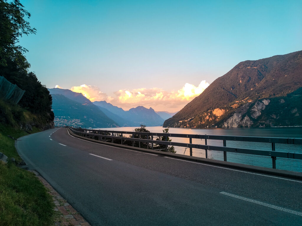
You’ll start off the day again with a steep climb through a mountain pass before descending into Lugano. Once you reach the lake’s edge, you’ll be at the halfway point so take a break here and enjoy the view. Preferably with some gelato from -9 Gelato Italiano. From there, return to the cycle route for some pretty stunning views of the mountains surrounding the lakes.
The final stretch from Capolago to Como isn’t particularly spectacular compared to the previous days, so you may opt to skip it taking a train instead. You’ll also avoid a particularly annoying hill at kilometre 50.
Unfortunately, there aren’t any campgrounds close to Como. There is one further afield in Bellagio (Camping Clarke) that costs about €40 for two people and a tent. You can get there by ferry if you don’t want to cycle. Otherwise, there are a number of hotel rooms for around €100 to €140 in Como directly.

Fun Stats of Day 6: Cugnasco-Gerra to Como
- Total distance: 64.2k
- Elevation gain: 740m
- Elevation loss: 770m
- Expected cycling time (@12kph): 5hr20m
Departure
You might choose to spend a few days around the lakes before returning home. To return home, the closest city with the most options for onward travel is Milan. You can either take a train here or cycle the stretch, which is relatively flat. However, you will be passing through increasingly dense towns as you enter the metropolitan region, which can be a bit of an anti-climax after 6 days deep in the wine lands, mountains and foothills of France, Switzerland and Italy.

Fun Stats Bonus Cycle: Como to Milan
- Total distance: 52k
- Elevation gain: 310m
- Elevation loss: 390m
- Expected cycling time (@12kph): 4hr20m
Packing Essentials
You’re really going to want to pack light for this trip. Unfortunately, if you’re on a budget, you’re going to have to pack light while simultaneously packing camping gear. If you’re cycling in September, bringing a sleeping bag liner wouldn’t hurt, especially overnight at Andermatt. You can check out my guide for light-weight gear here. If you can save up to spend about 150-200 CHF for accommodation, then I would leave the camping things behind. But you will need to book early to get the best prices, especially during high season.
You’ll need the same things we brought along for our Romantische Strasse cycle ride: a rain jacket (for the wind and unexpected showers), 2L of water, spare tire tubes, bike tools to change your tire, a bike pump, a bike lock, high-energy snacks, and really solid side bags to pack your stuff. If you’ve got an e-bike, now’s a great time to pack that too.
While most places accept cards, it’s a good idea to carry 100 CHF worth of cash with you for emergencies, and the ferry.
Otherwise, enjoy the ride! And remember, when things feel down, it will only go uphill 😉
