Overview
The Garden Route stretches between beautiful coastal towns from Witsand to Nature’s Valley in the Western Cape, South Africa. Technically, TsiTsikamma isn’t part of the Garden Route, but its lush forests tempted us to include this park as our farthest point east on our Garden Route trip. We only had 5 days we could take off, so we planned our trip around that timeframe. But you could easily spend more or less time driving this route. While this trip is a fantastic local travel option, for international visitors, I wouldn’t necessarily recommend going out of your way to fly here just for this route. Equally dramatic coastlines are available in the Northwest USA and Maine, and Europeans can get a similar feel from the Irish coastline. But if you’re in South Africa for a longer time, then it’s a great trip to tack on to your Cape Town visit.
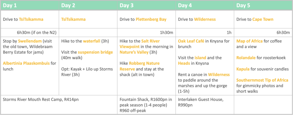
Suggested Itinerary
Day 1
Since we wanted to get the biggest chunk of driving behind us and work our way back slowly along the N2, this was a long driving day. To get to Storms River, you follow the N2 for 6.5hrs. The first stretch up until George is relatively boring compared to the lush green hills on the second half of the drive. You’ll pass a lot of distractingly beautiful places. Just keep driving – you can stop at them with leisure on your way back. Along the way are several farm stalls to pick up lunch or odd assorted gifts. You’ll pass the ever-popular Peregrine farmstall – honestly, it’s not that great so you can save your stomach for a less commercial farmstall on the way. Our first stop was in Swellendam, the third oldest town in South Africa, where we got much needed caffeine and picked up various pots of honey for home at Bee Things. For lunch, we stopped at Albertinia Plaaskombuis, an eclectic vintage-themed farm stall with a fairy garden and cafe with the most overflowing milkshakes you’ll ever have seen. We had massive freshly made burgers for just $3 a pop before heading on our way.
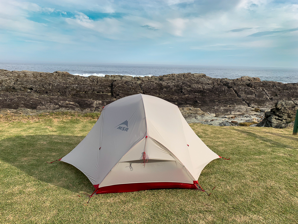
We arrived at the SanPark Storms River campsite at around 4pm. A lot of the campsites were already taken when we arrived, so we got one of the last ones with an ocean view on the edge of the campsite. The campsites are not pre-assigned, so if you are travelling with a lot of people or a massive tent you will need to arrive early to get an ideal site. The ablutions are clean with hot showers, there are laundry and drying machines, a fridge and deep freezer, and a washing up station. There’s a communal kitchen you can use with two stoves and ovens. There’s also a restaurant down the road by the start of the suspension bridge walk with a decent selection of seafood, meat, and vegetarian options on its menu.
If you don’t want to camp, you can stay at one of the many wooden huts. From what we saw, the best were huts 16a 16b and 17, which looked very nice and stood on their own by the ocean. The others were either quite near campers or the noisy day visitor parking area.
Day 2
There’s are several walking trails around TsiTsikamma directly accessible from the campsite that range from 30min to 3hrs in length. They’re relatively flat and easy to hike making them kid friendly. You don’t need much water or snacks unless you plan to picnic. Picnicking, by the way, is an excellent idea if you choose to hike out to the waterfall.
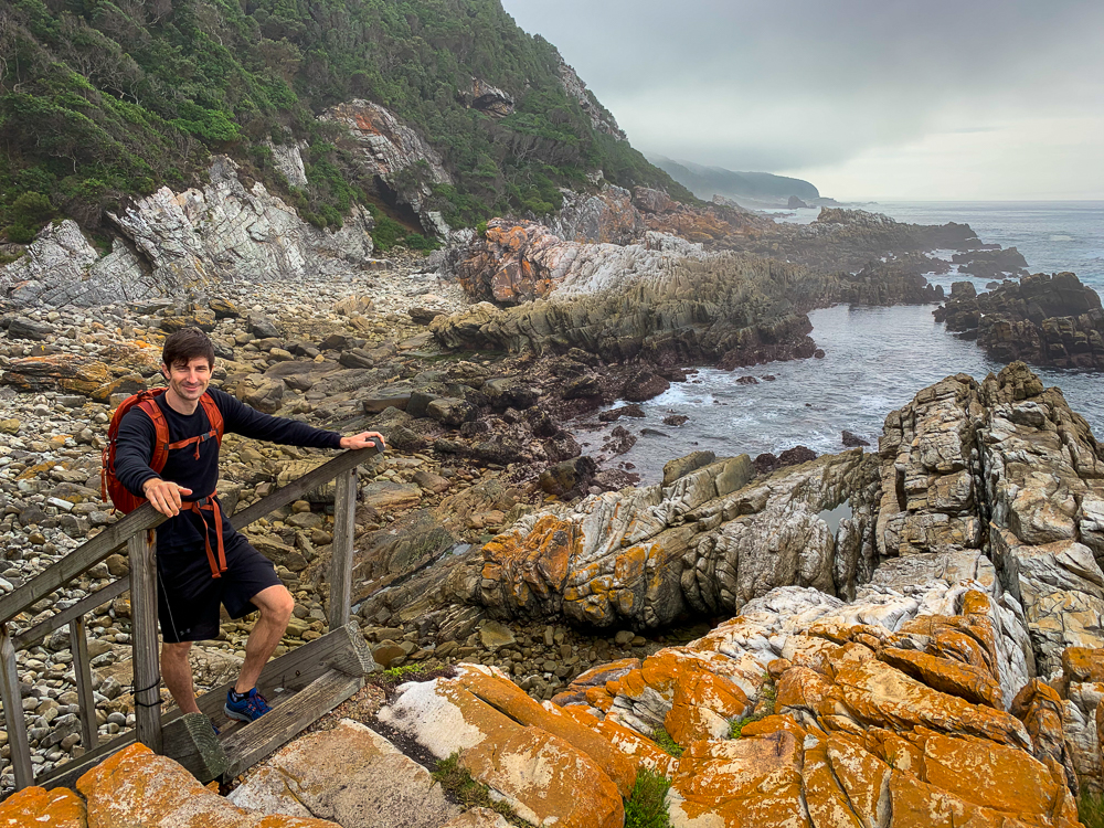
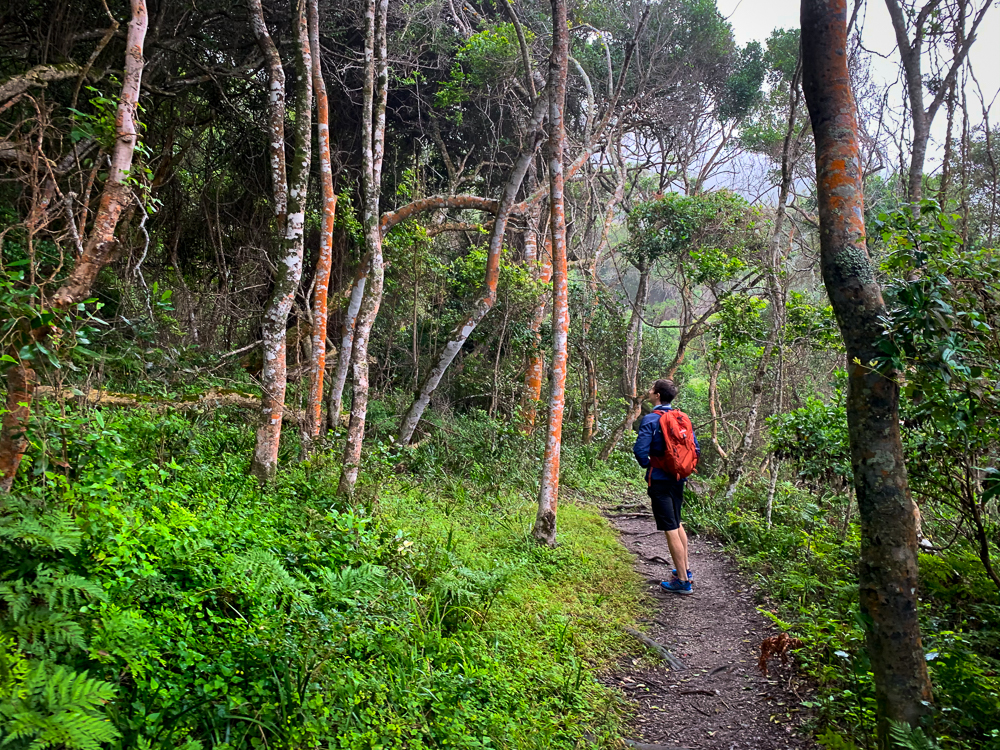
Just 3km down the coast, along the first stretch of the famous Otter Trail, is a rather spectacular waterfall that empties out right next to the ocean. To get here, you’ll walk along dirt trails and boardwalks through forests before reaching a rocky shoreline. These rocks can be underwater during high tide so it’s best to plan your walk during low tide. Follow yellow paw marks and arrows to follow the safest route along these rocks. Watch out for slippery rocks. You’ll come to Guano Cave 1.4km from the official trail start. It goes quite far back – bring headlamps if you want to explore.
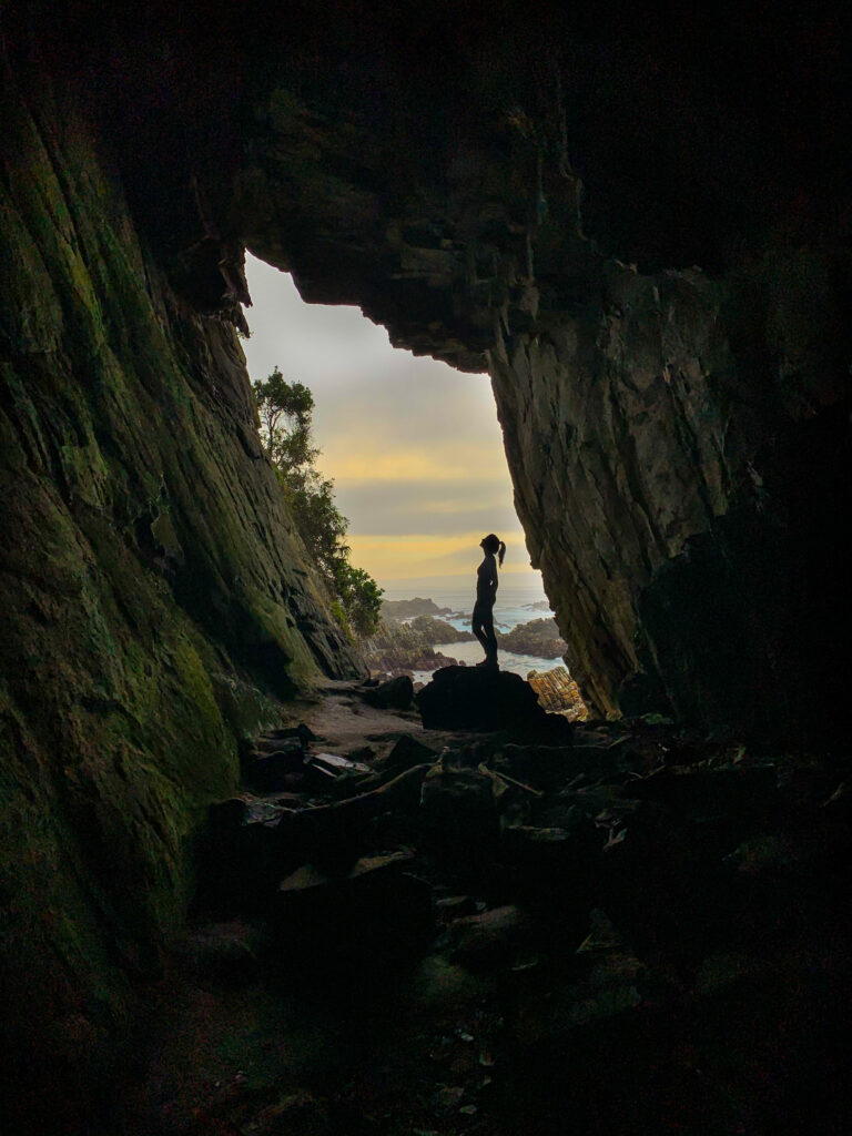
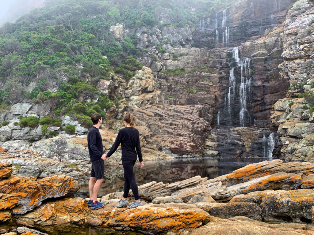
To continue to the waterfall, follow the trail up the wooden stairs to the left of the cave. After another 1km along rocky coastlines and a bit of a forest path, you’ll reach the waterfall. On a hot day, the pool is a refreshing place to take a dip. On all other days, it’s the ideal place to stop for photos or picnic. If you don’t have permits for the Otter Trail, this is the farthest permissible point you can walk along the coast.
To return, head back the same way you came. If you want to extend the hike a bit, you can return to the campsites via the Blue Duiker Route near the start of the waterfall trail. It will bring you high up the hill through a humid forest. You can either cut back to the camp via the paved road (1.5km), or walk across and continue the Blue Duiker Trail all the way through (3.8km total) passing a waterfall on the way.
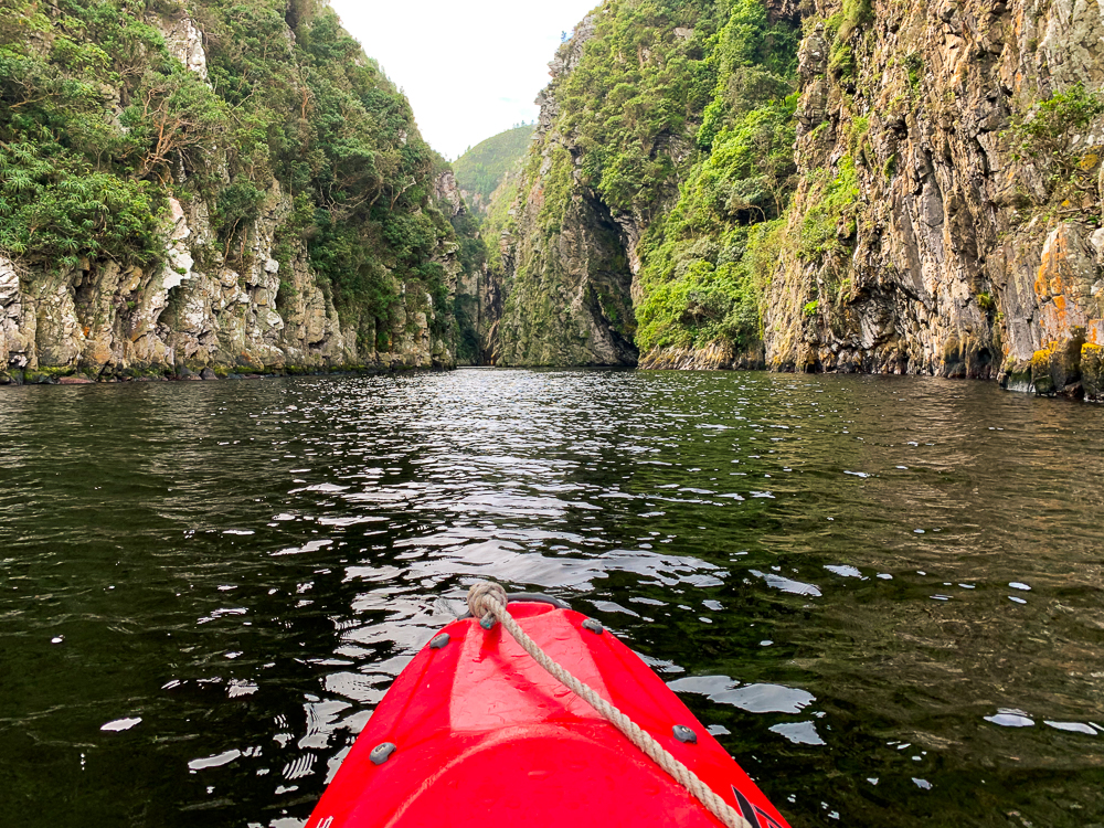
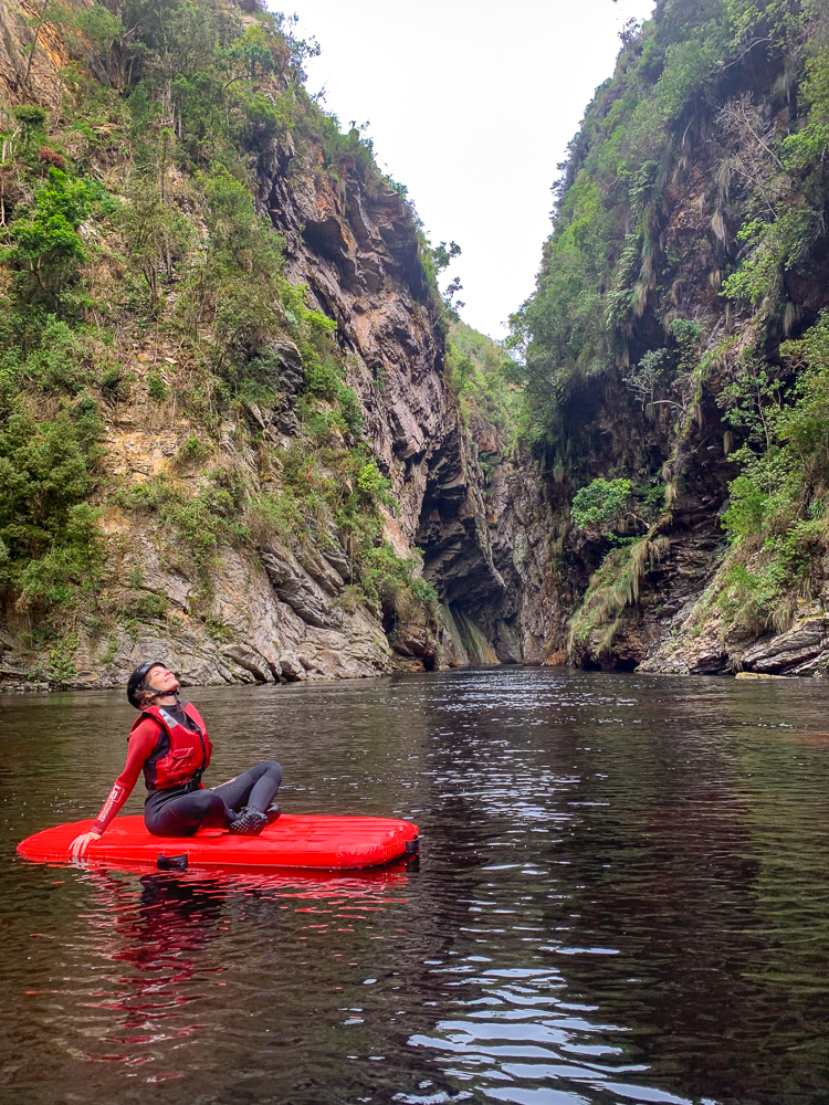
Depending on when you hiked to the waterfall and how long you spent, you’ll still have time for a kayak and lilo adventure up Storms River with Untouched Adventures. While we ended up doing this, I was a bit disappointed that there wasn’t much kayaking involved – you kayak about 15 minutes from the ocean into the river gorge, before trading up your kayaks for lilos (flat blow-up raft things that you lie on) and paddle with your hands 15 minutes upstream as the gorge narrows. There’s not much to see at the end per say, it’s really just a pile of rocks, but I suppose it’s more about the journey. To get back to the start, you do the trip in reverse – lilo and then kayak. The whole activity takes about 3hrs, but most of the time is spent suiting up and getting the group ready. If it’s cold, I would rent wetsuits and water shoes. For the cost, I personally wouldn’t recommend this activity, especially since I’m not a fan of guided, group activities, but for those who want a taste of adventure with security then you’d enjoy this excursion.
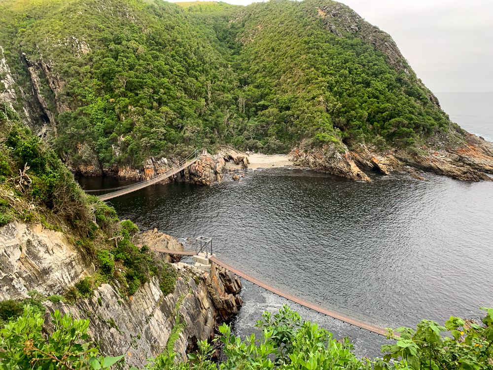
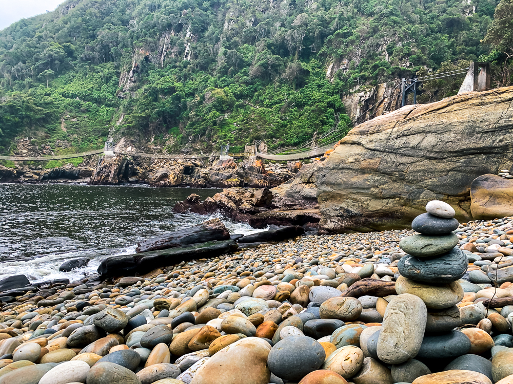
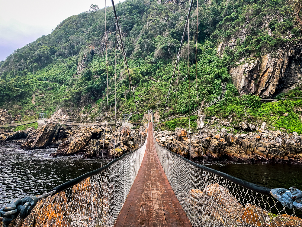
Depending on the time and lighting, you can visit the suspension bridge. Without stops, it’s a roughly 45-minute there-and-back meander along a boardwalk through the forest. Across the suspension bridge, you can continue the walk up the hill to a viewpoint of the bridge and gorge below. Because of the walk’s short length, you can squeeze this in at any point during your stay. We went twice because the lighting and visibility was poor the first time we visited the evening we first arrived.
Day 3
We chose to stay in Plettenberg Bay on our third night, but in hindsight, I would have stayed in Knysna or Nature’s Valley. Or alternatively Fountain Shack at the Robberg Nature Reserve. The reason is, Plett is very built up and felt like we were ripped out of the garden part of the Garden Route. The beaches weren’t as nice as those by Nature’s Valley either.
Because Plett was only an hour drive from TsiTsikamma, we had plenty of time to amble down. We walked to the suspension bridge in the morning and then stopped at the Big Tree (15 minutes total walking) just by Storms River. This is a 1000-year-old yellowwood tree, which though impressive age wise, is perhaps not worth the visit if you don’t have a Wild Card and need to pay the R22 fee. It was big, but not that big. From there we went into Storms River for breakfast at the funky Marilyn’s 60s Diner. Coming from an American, the diner-style food was average for the price. But the setting is nice, so it’s worth a coffee stop.
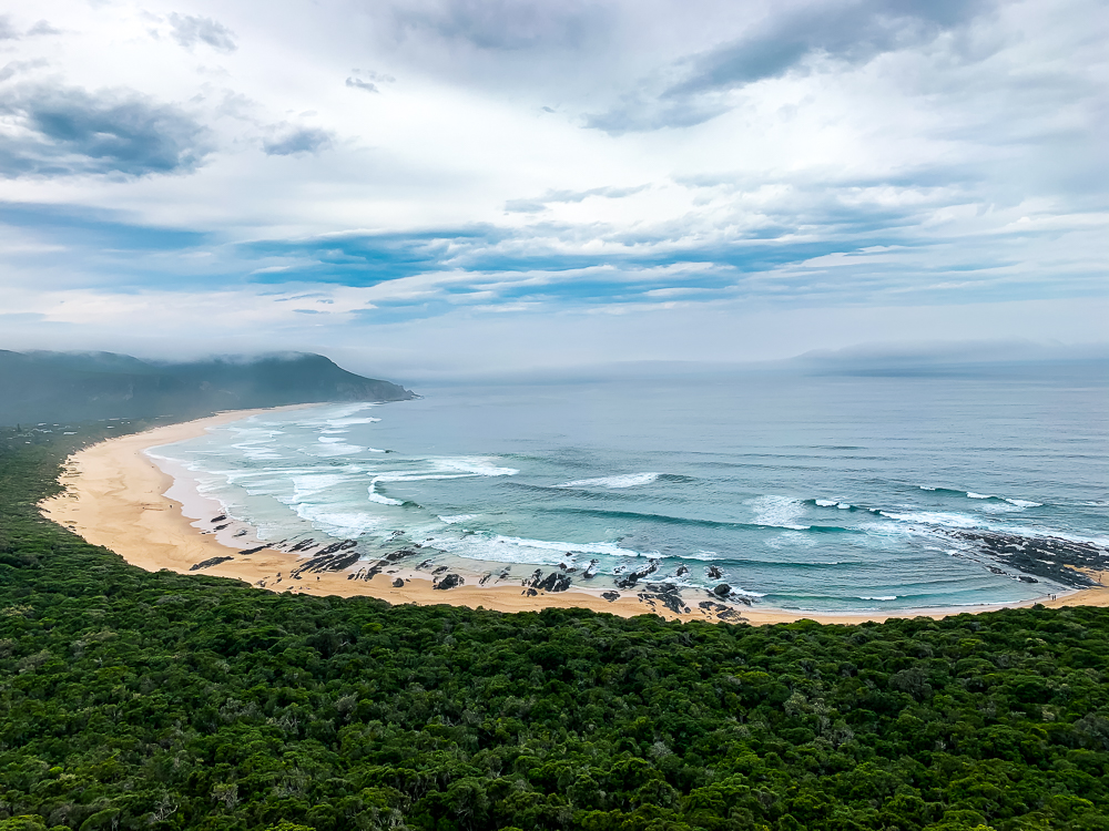
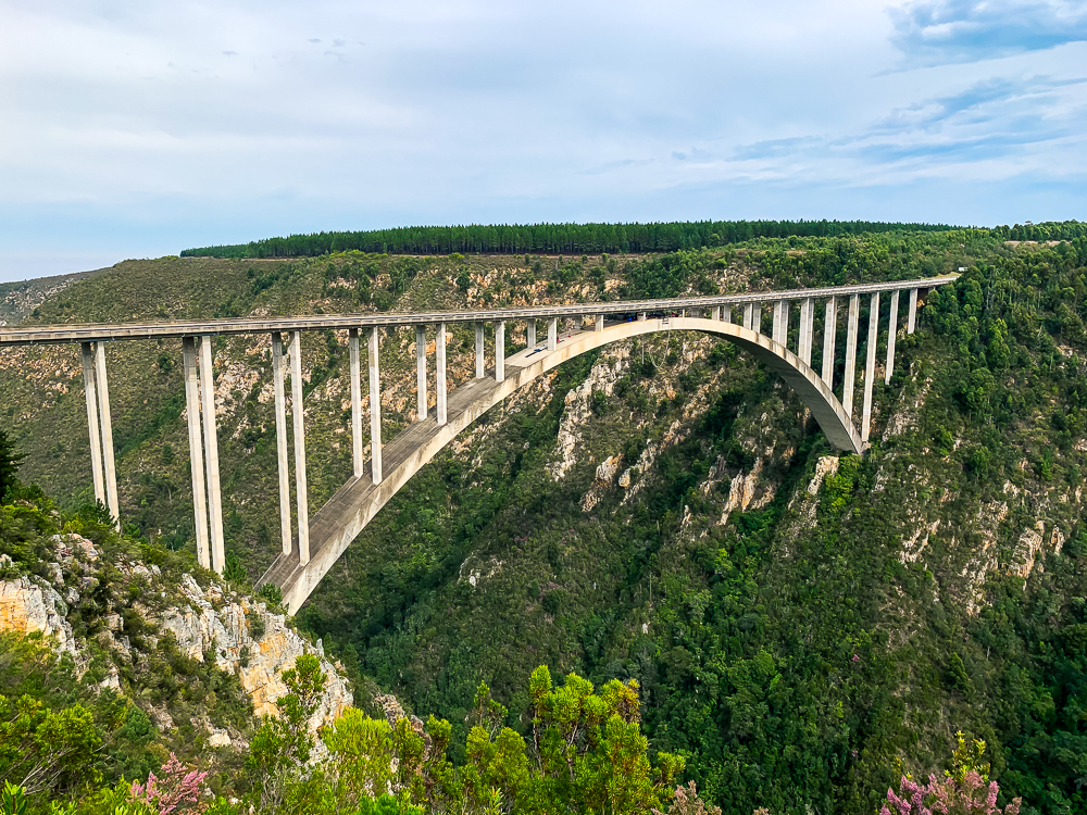
After filling up on food, we headed to Nature’s Valley pausing at the Bloukraans Bridge on the way where crazy people were suiting up to bungee jump the 216m-high bridge. Nature’s Valley has a rainforest vibe with houses tucked into the woods along a large sandy beachfront. There’s a sheltered lagoon that looked ideal for summer day kayaking and canoeing.
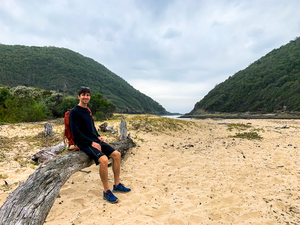
If you have energy, you can do the Salt River viewpoint hike which starts down by Nature’s Valley Restaurant and Pub. You’ll follow the signs onto the beach where you turn right and then right again after five minutes of sand walking. From here, you’ll ascend into a forest before turning left at the T-junction on the trail and descending to an inlet, the Salt River. If the tide is low, you can walk across the river to continue uphill again to the impressive lookout point. If the tide is high, swim. To return, come back the same way you came. There’s an alternative coastal path but it has deteriorated in recent years so it’s not advisable to take especially during high tide. The whole walk is only about 1-2hrs. But you can spend a while relaxing on the sandy banks of the Salt River enjoying the calming views of the green hills.
As for Plett, if you have good weather which we did not, you can head down to one of the many beaches. Lookout beach is quite nice for a stroll and has views of the mountains.
Day 4
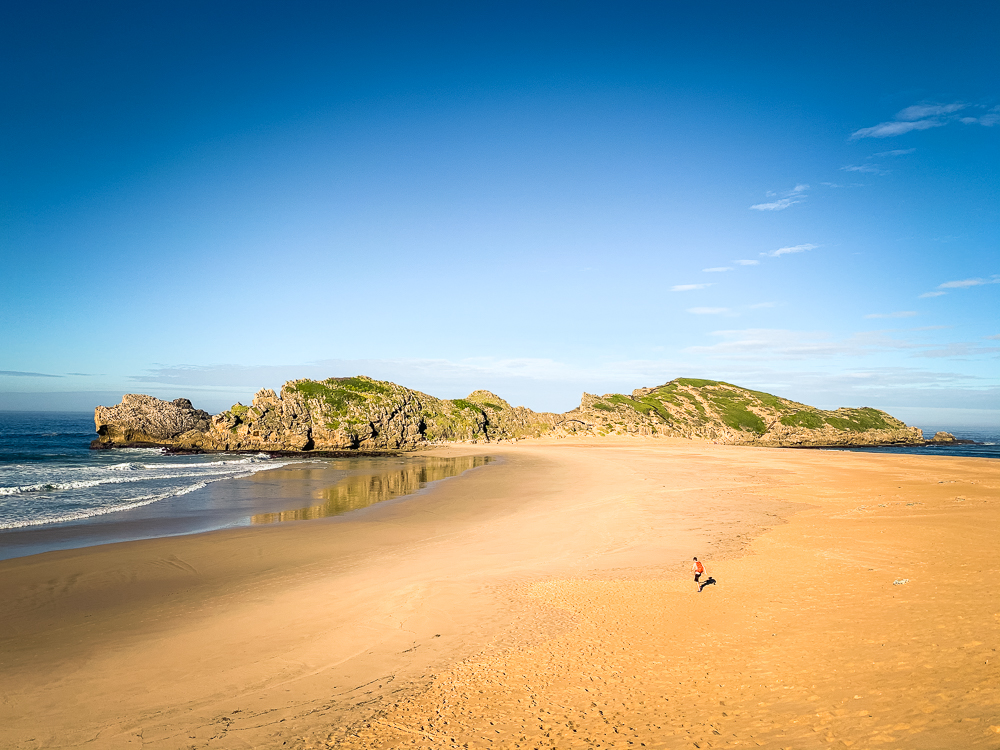
Alternatively, instead of Plett, you can stay a night at the Fountain Shack at the Robberg Reserve. It’s a basic shack without electricity but tucked away overlooking an island at this Cape Nature Reserve, I’d say it’s tranquil location makes roughing it worth it. For day visitors, there are three route options available – 2.1km (30min), 5.5km (2hr), and 9.2km (4hr). The paths are a mix of rock, boardwalks and sand that go along the hillsides, so a bit of up and down hiking is involved. The route is very exposed and without shade so it’s best to go in the early morning or late afternoon.
We only had time for the 5.5k Witsand circuit. It goes clockwise past a Cape fur seal colony, which you’ll smell long before you will see. From there you will turn right down a sand dune that is fun to run down. It’s quite steep, so you’ll understand now why you shouldn’t do this hike counterclockwise. Cross over the sandbar to the Island and follow the boardwalk path up for spectacular views. If you have time, this is an excellent picnic and swim spot. It’s also good for bodyboarding if you have a board with you. To head back, walk back along the sandbar to the far left corner and follow the path back up to the car park.
We headed to Knysna from Plett, and only spent a few hours there to visit friends and go for brunch at the Oak Leaf Cafe. With more time, I would have checked out the Knysna Heads (a scenic coastal viewpoint) and generally ambled around the town longer. It was mid-autumn and many of the trees’ leaves were changing colour.
We made it to Wilderness by 2pm, checked into our room with a view of the lagoons at Interlaken Guest House and headed out again. A storm was rolling in, but we really wanted to sneak in a canoeing adventure through the marshes and up the gorge. Canoes and kayaks are available to rent at Eden Adventures. For R150 plus conservation fees (R48pp, waived with a Wild Card), you can rent a canoe for two and paddle up the gorge and back. If the weather is good, you can rent a canoe for R400 for 5 hours, paddle up the gorge and disembark by a trail and walk 40 minutes to a waterfall. We passed the waterfall trail point, so it really only requires 30 minutes of paddling to get there.
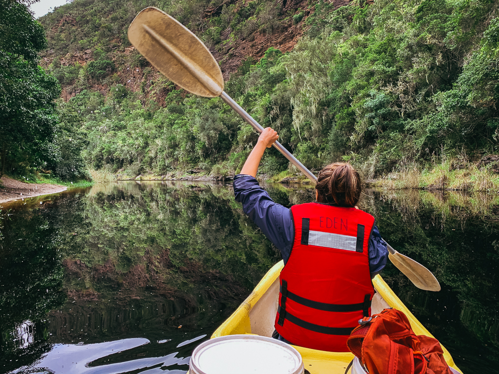
Alternatively you can walk to the waterfall from the nearby campsites and forgo the canoeing entirely. With 5 hours, I would rather kayak into the lagoon to the east of Wilderness along the serpentine river to get more paddling time in rather than pay to canoe for just an hour and then hike the rest to a waterfall.
Day 5
The final day of the trip, if you’re leaving from Wilderness back to Cape Town, entails a lot of driving. There are a lot of mini-stops on the way so leave early. Just above Wilderness is the Map of Africa Viewpoint – a viewpoint where you overlook hills that uncannily cut a shape like the African continent.
The next stop along the way is the Rolandale farmstall just outside of Swellendam. You’ll either get here by lunch or brunch – they make roosterkoek fresh on a fire. They’ve got a wide selection of roosterkoek-based items on the menu, but the roosterkoek with jam, cheese and bacon is well worth the stop.
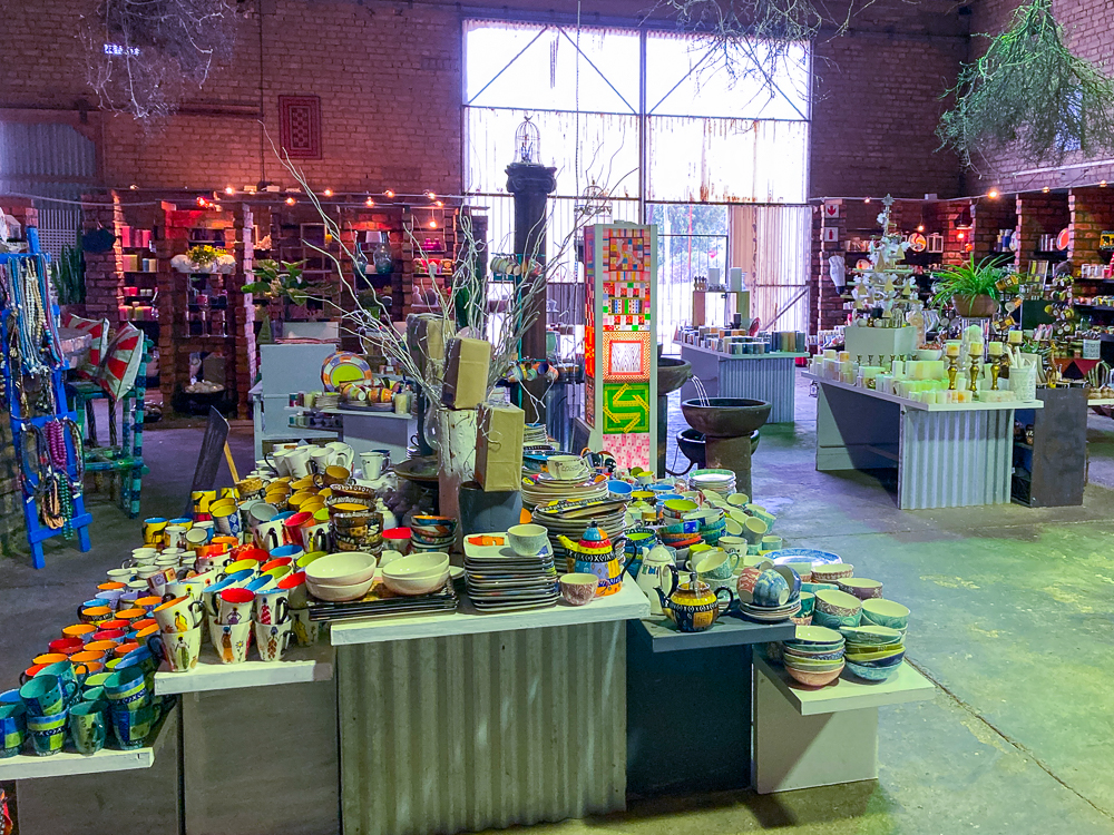
From here, we decided to detour off the N2 down to Agulhas, to see the southernmost tip of Africa. We stoped at Kapula candles along the way in Bredasdorp and stocked up on colourful, beautifully designed candles. All the candles and ceramics are locally made and internationally exported, so this is a great place to get these beautiful items for lower prices. If you have time, I would visit the Shipwreck Museum nearby. The seas are really rough around these parts and have claimed many ships over the centuries. On the way to Agulhas, you’ll pass Struisbaai which has the longest continuous sand beach (14km) in the southern hemisphere.
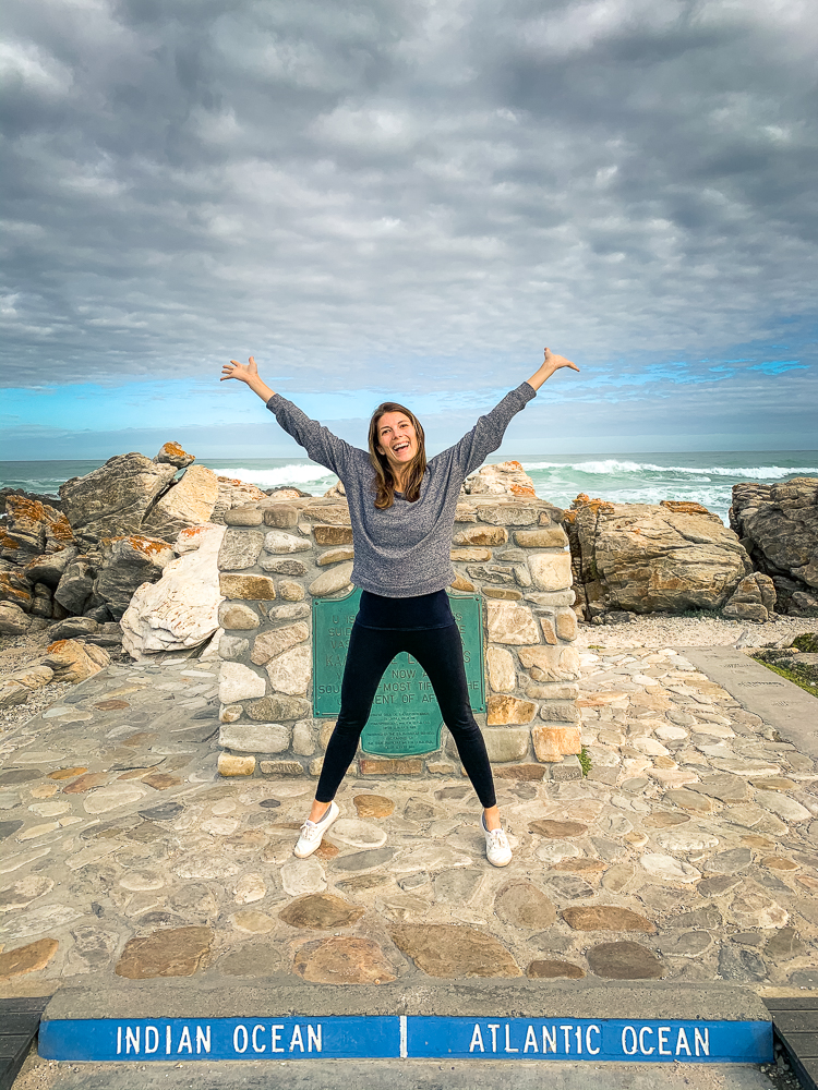
As for the Southernmost Tip of Africa – there are a few walking trails here but mainly you can just pop in briefly to take a photo at the tip where the Atlantic and Indian Oceans meet. Technically the area is part of SanPark, but no one was around to collect permit fees so we inadvertently just drove straight through to the tip. Depending on the time, there are multiple fish restaurants around here and very cosy looking coffee shops. Otherwise, you can get going on the last 3hr stretch back to Cape Town.
Other Stops along the Way
Depending on your appetite and what you most want to see and how much time you can budget for, there are several other places you can stop at on the way.
Though technically not part of the Garden Route, Swellendam is worth a night’s stop if you want to get a few longer hikes in. The Marloth Nature Reserve, up on the mountains behind Swellendam, boasts several popular hiking trails. You can combine the 12.2km Plaat loop with the 2km Duiwelsbos waterfall route to get both views and waterfalls into your hike. It will take about 3-5hrs depending on your fitness level and breaks. For a strenuous booty workout, you can hike up to 1426m to ascend Twaalfuurkop. That’ll take you about 6hrs to walk the 12.4k roundtrip.
If you are completely new to South Africa, drive the coastal route. Skip the first section of the N2 between Somerset West and Riviersonderend, and take the R44 along the coast from Somerset West down to Pringle Bay, along the R43 to Hermanus and rejoin the N2 using the R326 from Hermanus. The coastal route is infinitely more rewarding than the boring N2. I’d spend a night at the ecocabins in the Kogelberg Nature Reserve or in Hermanus if you haven’t been before.
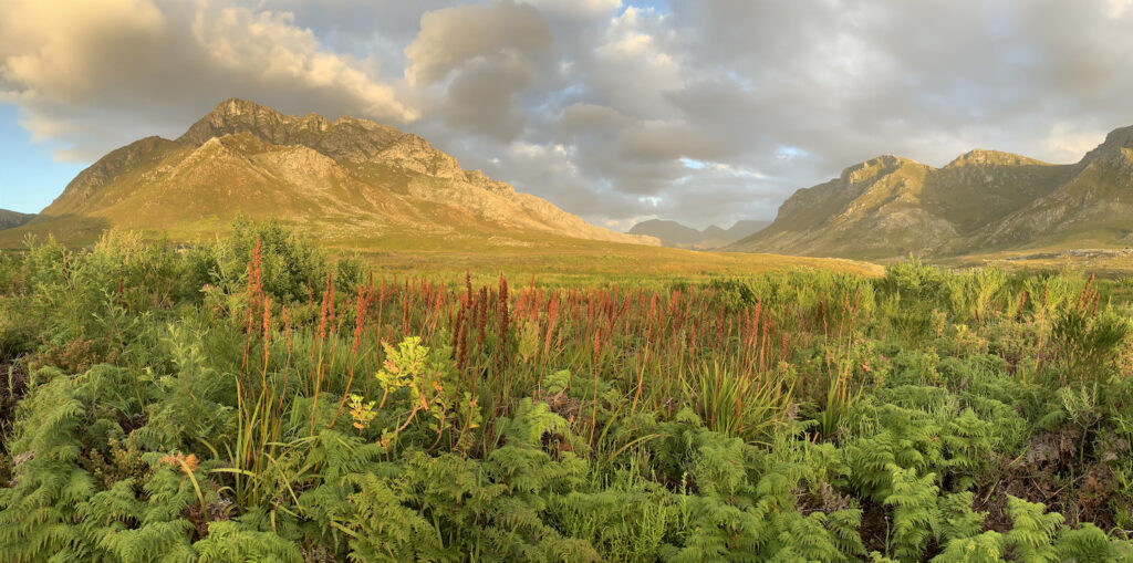
If you’re tired of green landscapes and beaches, from George head up the N12 to Oudtshoorn in the Klein Karoo, visit the Kango Caves and then follow the R62 down to Barrydale and Montagu before re-entering the winelands area by Robertson. You can return to Cape Town via the N1.
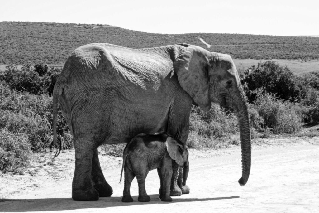
If you are keen on seeing elephants, Addo Elephant National Park is teeming with them. Addo is just outside of Port Elizabeth, or Gqeberha as it is now renamed. You can visit the park in the morning and head back to the Garden Route towards Cape Town by the afternoon. While there are guided tour options, you can easily self-drive through the park on the nicely paved roads. Personally, I’m not keen on elephants, so I would rather recommend you save your thirst for a safari adventure and spend some quality time in Kruger National Park to see a wider range of animals.
Packing Essentials
Depending on the season you intend to visit the Garden Route during, you’ll want to pack different things. It’s never going to be winter coat weather, but if you visit in June, July or August you’ll have a few chilly days ahead of you. You’ll want to have a light jacket for balmy days where the temperatures can go down to 12℃ (53℉). It’s also rainy season during those months, so pack rain gear. The warmest months are December, January and February. If you visit then, pack a swimsuit because there are ample swimming opportunities along the Garden Route.
The best way to be up close and directly in nature is by camping. There are campsites at pretty much every SanPark reserve along the Garden Route that give you direct access to lagoons, forests and beaches. If you plan to camp, be sure to pack the camping essentials. We packed extra blankets to stay warm in the cold damp nights in TsiTsikamma. A lot of people at the campsites will have massive caravans and palatial tents, so you might stick out a little bit with your small tent.
